PWFDF Collection
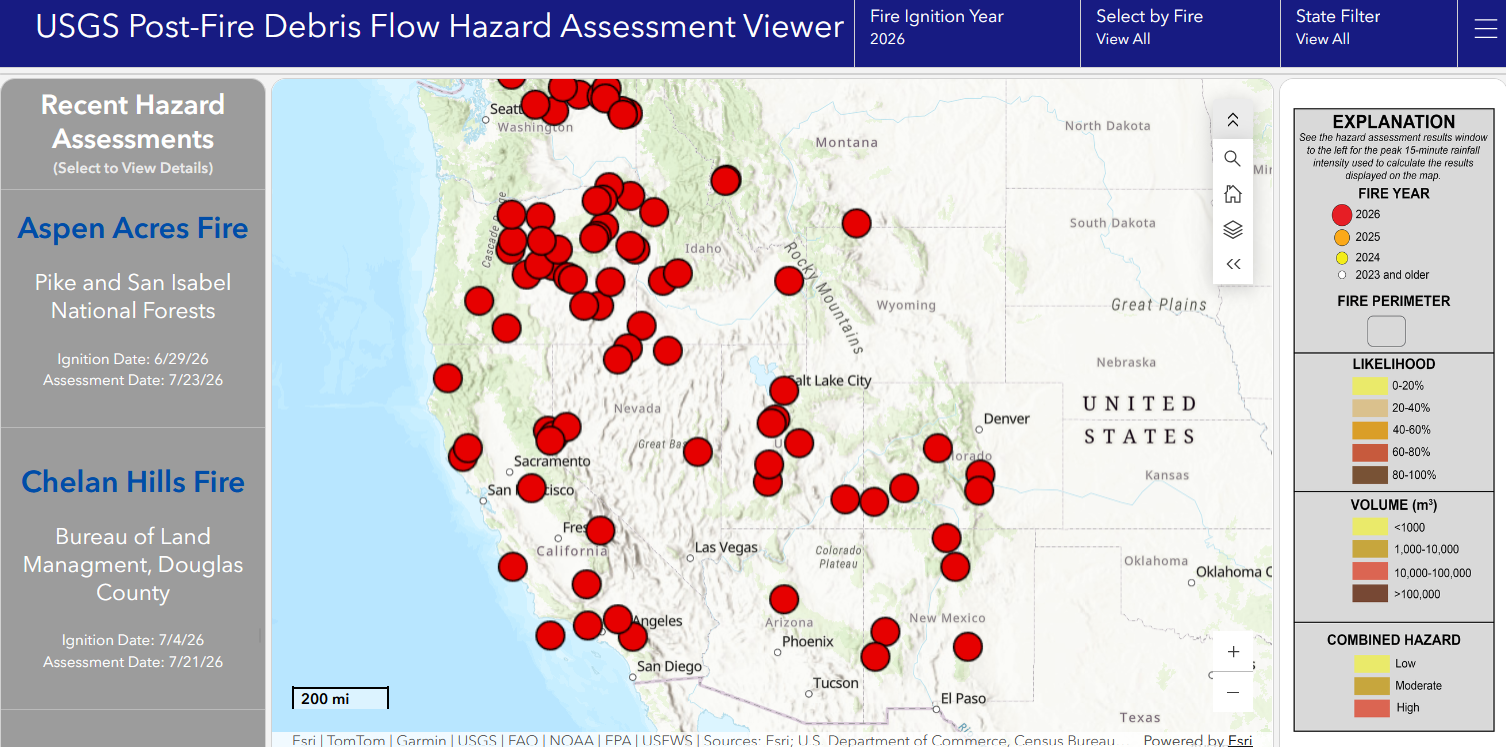
The PWFDF Collection is the US Geological Survey’s official postfire debris-flow hazard assessment product. These assessments model and map potential debris-flow hazards in recently burned areas, including critical metrics such as debris-flow likelihoods, potential sediment volumes, combined hazard classifications, and triggering rainfall thresholds.
Over my tenure, I’ve modernized this product from a series of informal, unpublished maps to a publicly-released national hazard product. This modern system archives assessments in a public data repository and deploys results to a public web map. I also authored the collection’s formal data specification, establishing the strict schema to which all hazard assessments are now required to comply. The schema includes comprehensive information on the implementation and geophysical setting of each assessment, ensuring that every assessment is both documented and reproducible.